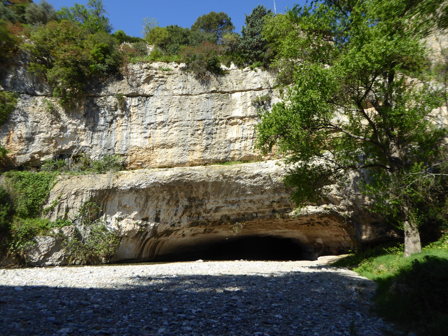
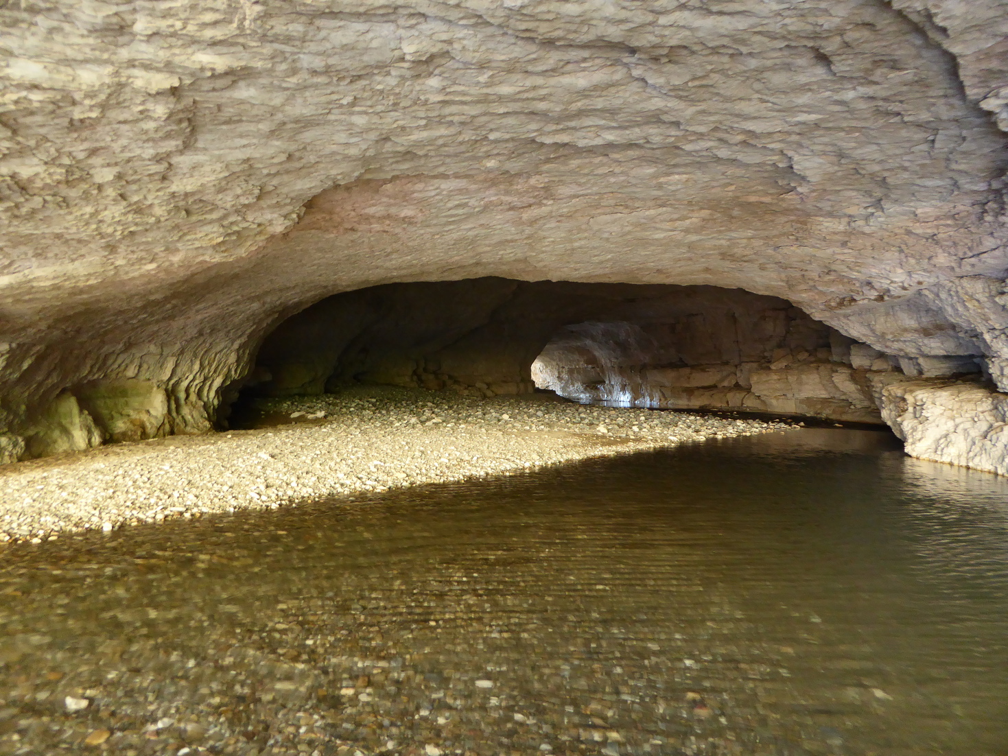
This natural bridge is located below the Medieval village of Minerve near the confluence of Cesse and Brian Canyons on Hérault department of France. The natural bridge has 250 meters long and Cesse river curved inside it. The down stream exit has a measured span about 23 meters. A paved road crosses the top of the bridge. The tunnel formed by Cesse river can be crossed by walk at normal flow of the Cesse River without headlight (not much more than calf deep). In the summer, the river bed is completly dry. The author found no evidence that bridge is a meander type. The bridge is located by red star on IGN topographic map Top 25 number 2444 east Somail-Minervois (pleat I2).

