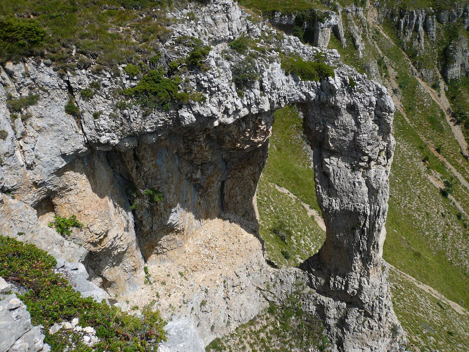
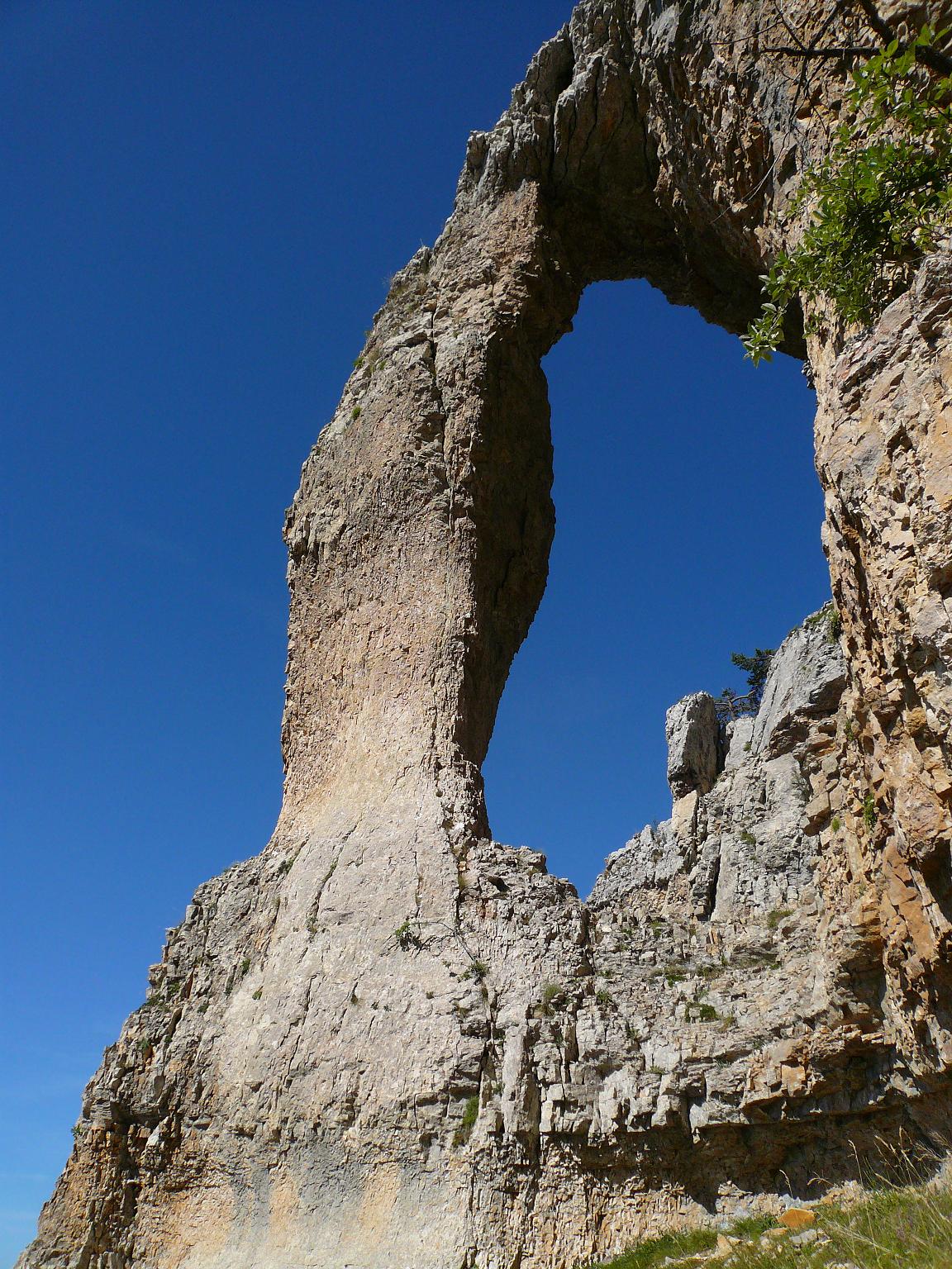
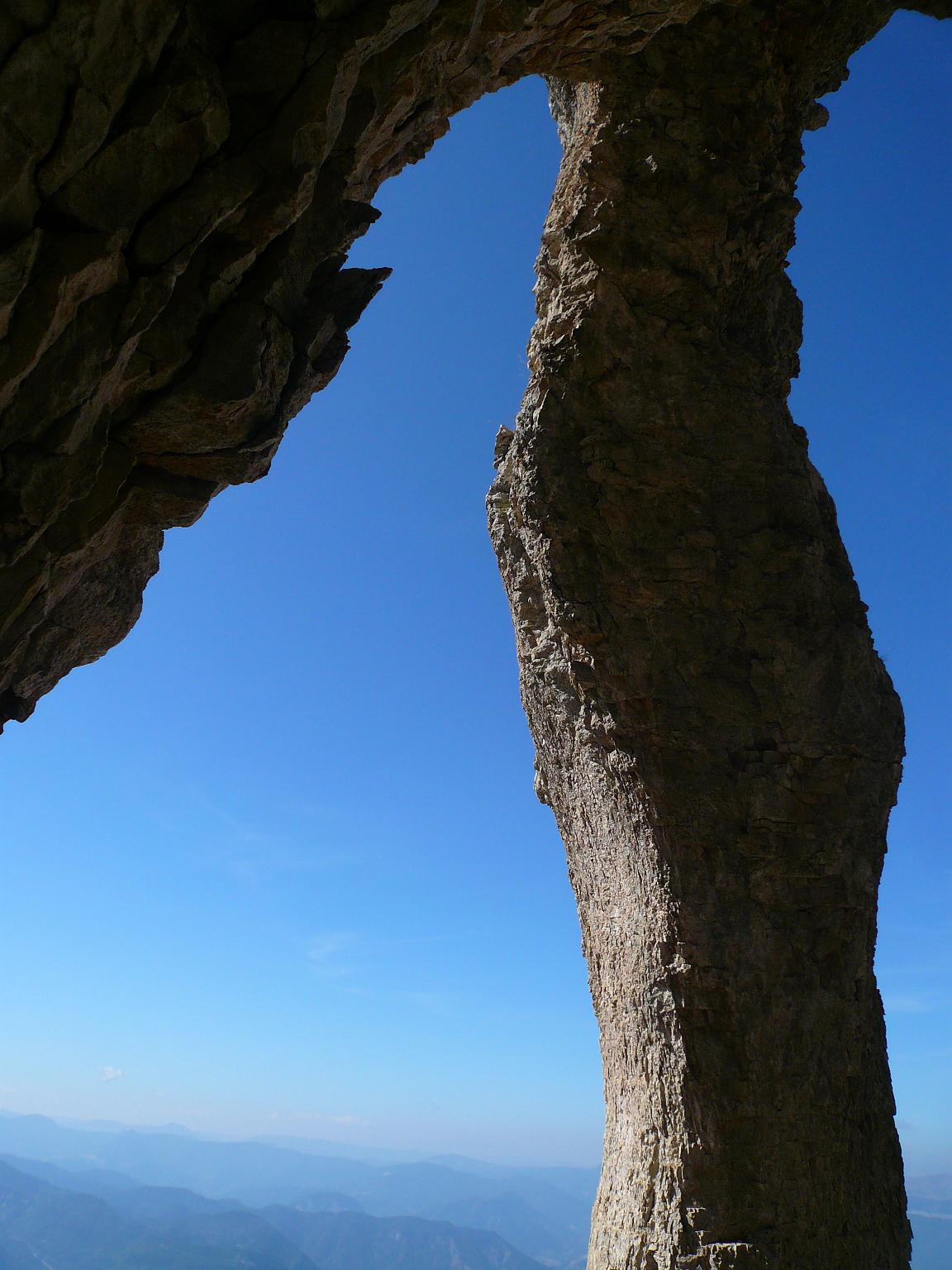
This nice natural arch (Pear Arch) is located on the cliff above the village of Chatillon-en-Diois in Drome department of France. The opening about 8 meters of height is situated close to the long distance footpath GR 91 on the natural reserve des Hauts-Plateaux du Vercors. The trail to the arch gains 1200 meters in altitude. This arch was first documented in 2009 by Pascal Sombardier. IGN topographic map number 3237 west "Glandasse" pleat C5.


